
Allvision Featured in SPAR3D Geo Week Case Study
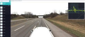
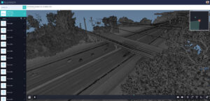
Millions of miles of road infrastructure in the United States are in need of observation, inspection, repair, or improvements. Managing critical infrastructure assets and inventorying their current condition has traditionally been an extensive and time-consuming process. By leveraging a combination of existing data and strategically partnering with service providers to collect more imagery and scans of road assets, Allvision is driven to improve this process with technology. The latest in scanning, cloud-based classification, and AI object identification technology is incorporated in their proven systems, and can save days or even weeks of labor in preparation for road projects.
Interested in learning more? Read the full case study on Geo Week News:
Leave a Reply